|
As I alluded to in my morning post, signs are pointing toward a cool down about the 2nd week of April, after the nice warm up this week. Over the winter the MJO had little influence due to the overwhelming signals from the warm north Pacific, but now that winter is over (of course) its influence begins to emerge. This Tweet from Joe Bastardi tells that story. This morning, Don Sutherland has this to say about the potential upcoming pattern. The first sentence is in reference to the big storm that brushed the NE coast the other day: That energy-transfer process is forecast to continue over the next 6-12 hours by the GFS with the system being fully absorbed afterward. In response to the developments that will be occurring south of Greenland, weak ridging over Greenland could be enhanced, helping increase the prospects for a period during which the NAO goes neutral or negative in coming days, especially as the AO will also likely be going neutral or negative. Don is talking about the potential blocking that is forecast to occur in the wake of the departing storm system. Robert at WXSouth.com also pointed out that April is THE month for cut-off lows to develop and next weekend maybe one of those situations, time will tell. 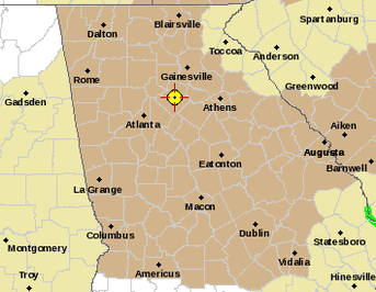 While I'm talking weather, our area is under a Wind Advisory until tomorrow evening. All of our alerts, watches and warnings can be found here. URGENT - WEATHER MESSAGE |
Archives
March 2019
Categories
All
|
OLD NORTH GA WX BLOG
 RSS Feed
|
Never base important decisions on this or any weather information obtained from the Internet. Always have a backup method of receiving weather information such as a battery powered weather radio.
Copyright © 2018 NorthGeorgiaWX.com and DaculaWeather.com 
|