|
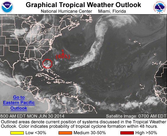
The Hurricane season officially started on June 1st, and we now have our first Atlantic tropical system to watch. Invest 91 is the official designation for this new tropical system that as of this morning, was 210 miles east-southeast of St. Augustine Florida. Invest 91 is currently drifting very slowly. The NHC had this to say in their morning Tropical Discussion:
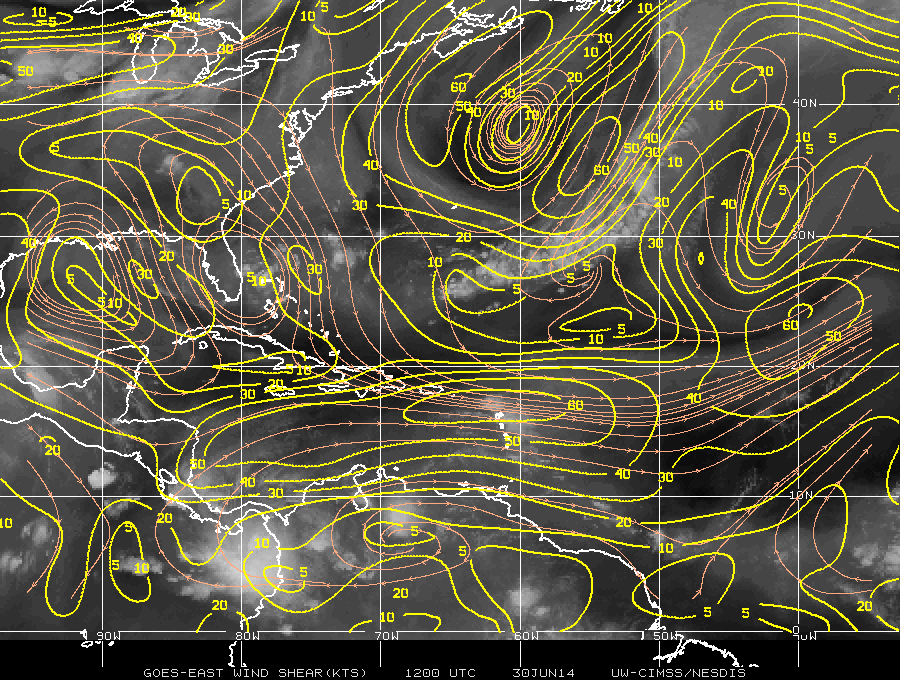
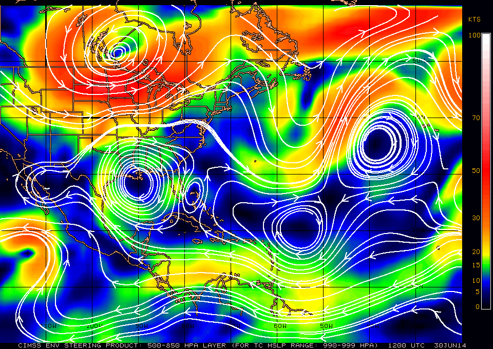
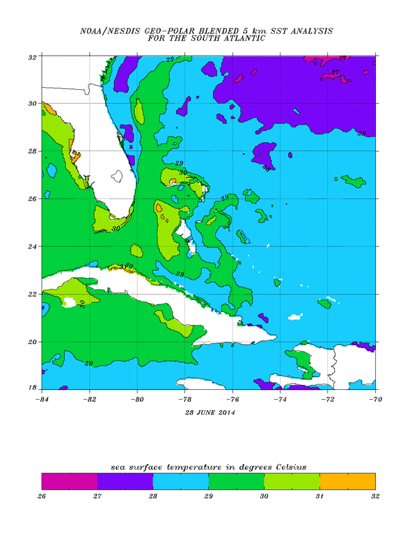
Right now, upper level winds are not too favorable, as the system is sandwiched between two areas of shear which is helping to inhibit strengthening, but recon is flying today to investigate. Where to Next?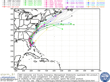 Most computer models (see image to the left) show the system drifting south and then re-curving back to the north and then northeast, hugging the Atlantic coast as it moves north and northeast. The trend has been slightly westward, so we'll need to keep an eye on future forecast to see if that trend continues. The storm is drifting toward warmer waters (see image below) which should aid in shower and thunderstorm development over the next few days. The center appears to be getting better defined at the low levels this morning, we'll see how it evolves through the day today. More to come as this system tries to get its act together, but as it stands now, interest along the Florida, Georgia, South Carolina and North Carolina coast should remain alert for future developments, as your 4th of July weekend is almost certainly in danger of being disrupted. |
Archives
March 2019
Categories
All
|
OLD NORTH GA WX BLOG

 RSS Feed
