|
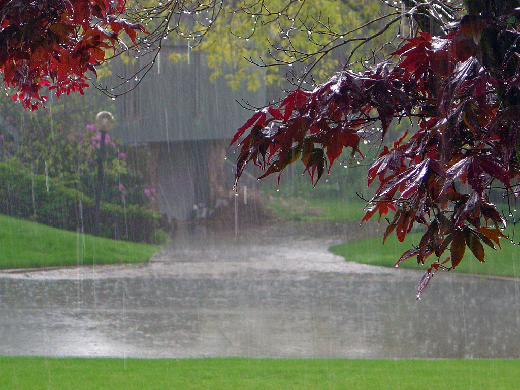
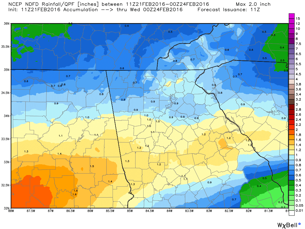
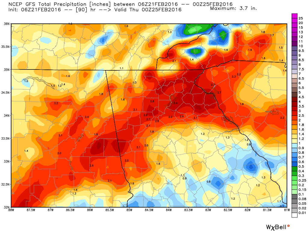
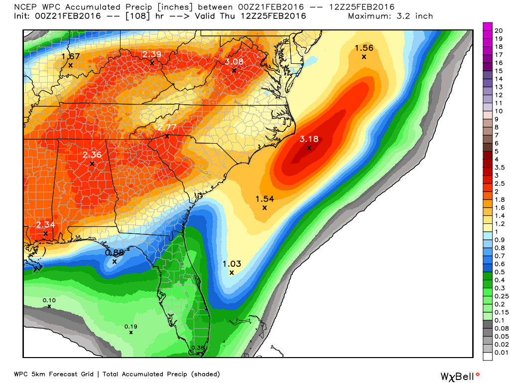
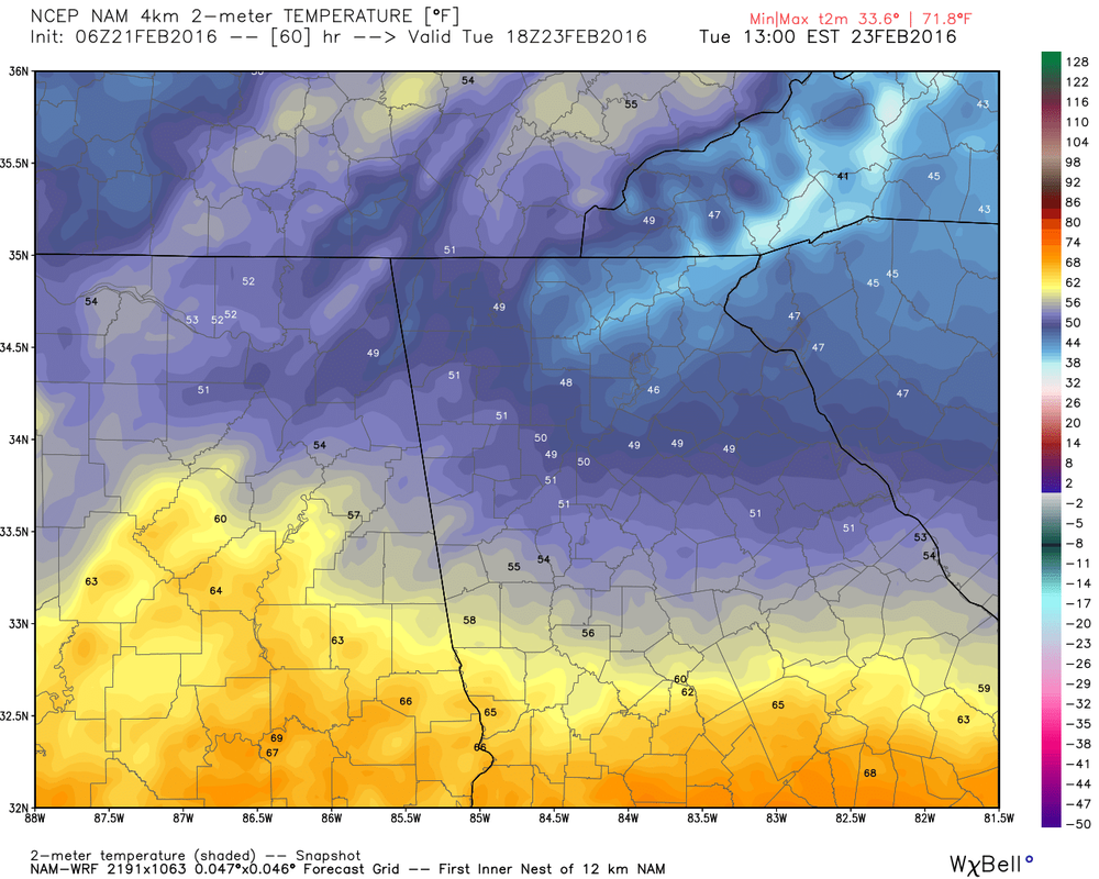
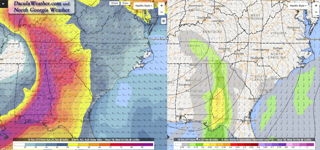
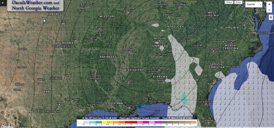
I think of songs like this on days like this, and any day it rains for that matter. And rain is what we've going to have... and for some, a cold rain before thunderstorms. To start, here's the latest from the NWS: "Gloomy short term in store for the state as a frontal boundary sinks into Georgia and a series of upper level disturbances supply ample moisture to the area... keeping the forecast looking cloudy and rainy." And rainy it will be, but it all depends on who you believe, I have the NDFD, GFS, and WPC ( in that order) rainfall maps, and the Euro is showing 2-3" across all of north Georgia through late Wednesday. Temps will remain warm except for those people that reside in the CAD areas, as Tuesday brings the formation of a wedge back toward the metro area. Temperatures in the wedge will remain above freezing but will be 15-20º colder than the surrounding locations outside of the CAD. Severe parameters are pretty high for late Tuesday, and right now looks like a high shear/low CAPE environment., and in situations like these, you can see quick spin-up short lived tornadoes. We'll need to watch this as we get closer to the time.
|
Archives
March 2019
Categories
All
|
OLD NORTH GA WX BLOG
 RSS Feed
