|
Ok... took a break to regroup... time to look ahead. We have one system coming up later this week that was looking more promising a week ago, but I'm not feeling this one. Where we had a pretty good layer of cold air (for us) for this last system, this next one doesn't look like it will have as much cold air to work with. This morning, it would appear to be more of an overrunning event with moisture riding along a stalled frontal boundary with marginal temperatures. And to be honest, I'm not seeing anything out to 10 days right now. There will be a warm up after this next system, and may last most of the following week. Winter is not over, and we're expected to go back to our winter pattern after the reload.
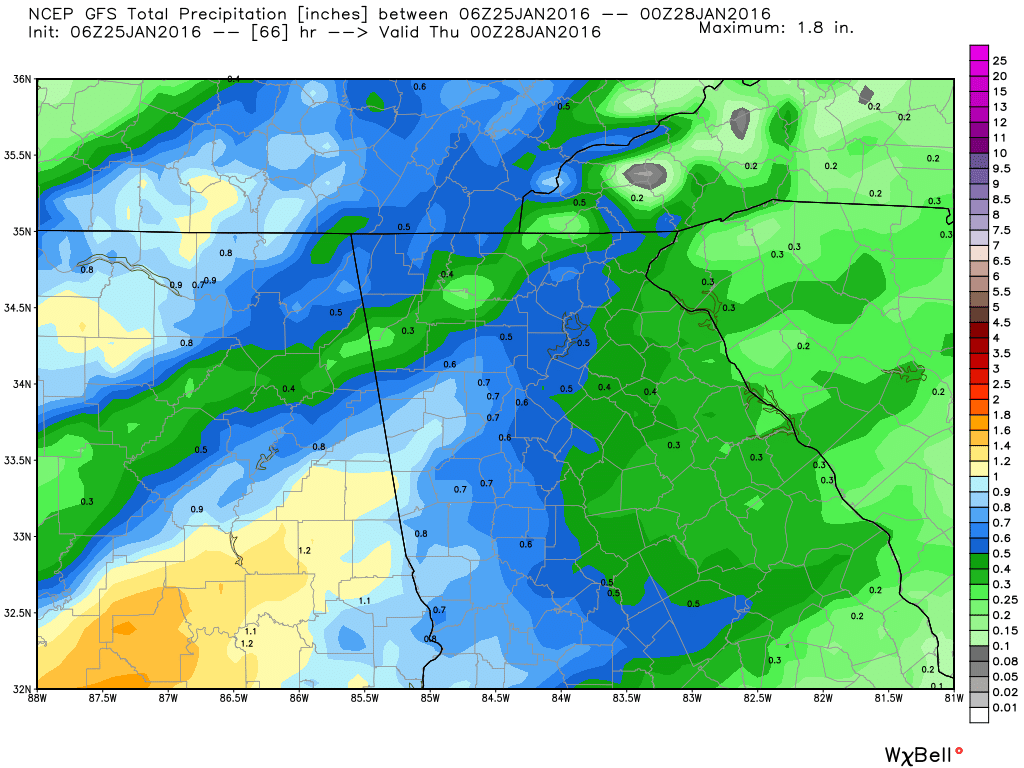
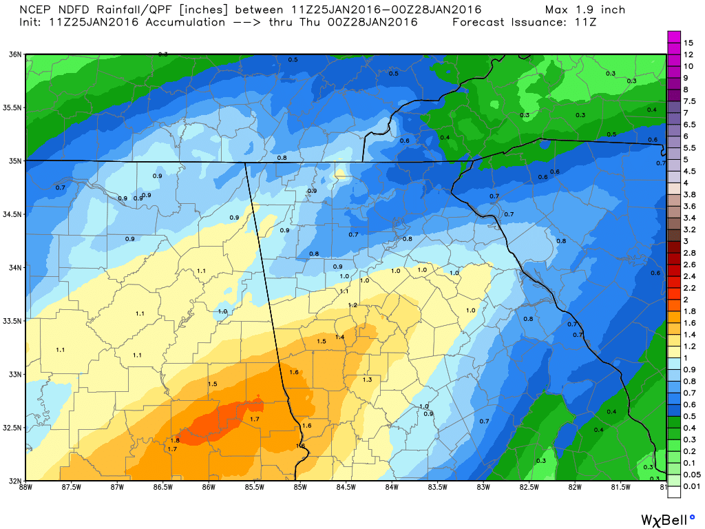
This is our chance. A stalled frontal boundary with cooler air to the north and warmer air to the south. I actually expected to see more of this by now, except with colder air. This would be considered an overrunning event. Again, I don't have a lot of confidence in this as there isn't much cold air over the top. If I were seeing a 1035 or higher high pressure to the north or NE, I might be more excited. 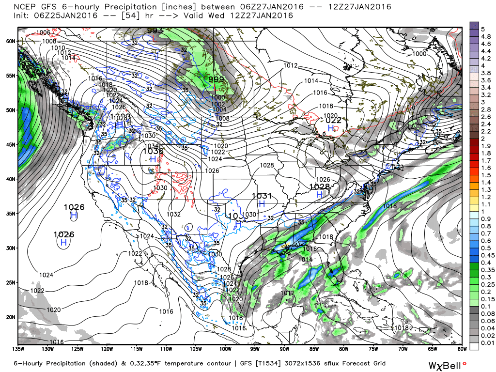 We will have some more rain. Oh yea. You can tell I'm as excited as you are. :-) Sorry guys, I just report on the weather... I don't make it happen. There are rainfall totals through late Wednesday, depending on what model or forecast you believe.
So I'm still watching for signs and I expect to see those on the horizon soon. Winter is not over by a long shot. Many of our best snows have happened in that month, and I fully expect to see a good one this year. If you've been following for while, you should remember that almost all of the winter forecast called for February to be the best month. But... I really expected more than 3 chances for January as well. |
Archives
March 2019
Categories
All
|
OLD NORTH GA WX BLOG
 RSS Feed
|
Never base important decisions on this or any weather information obtained from the Internet. Always have a backup method of receiving weather information such as a battery powered weather radio.
Copyright © 2018 NorthGeorgiaWX.com and DaculaWeather.com 
|