|
Good morning to everyone! Hope the weekend is treating you well so far! First, and message from our sponsor... ;-)
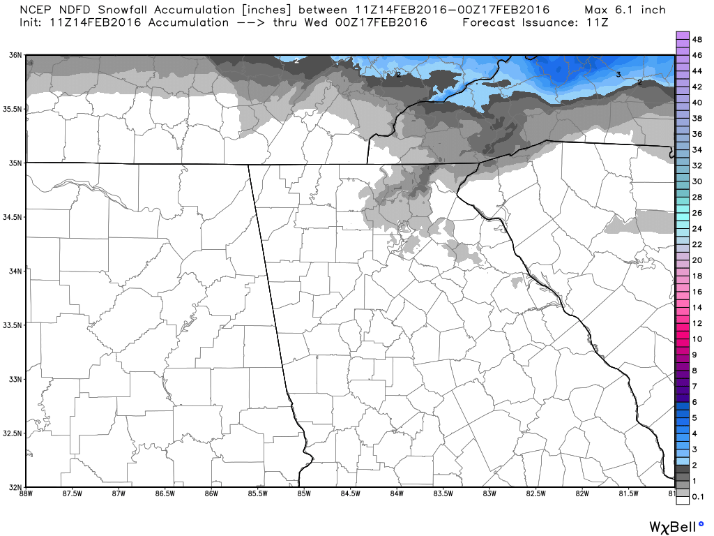
Here are the latest snow and ice accumulation maps from the National Digital Forecast Database.
According to the NAM-WRF 4km model, the frozen precipitation may start as early as late afternoon today. The image below is 4 PM Sunday and the thin blue line is the freezing line in this simulated rain image. 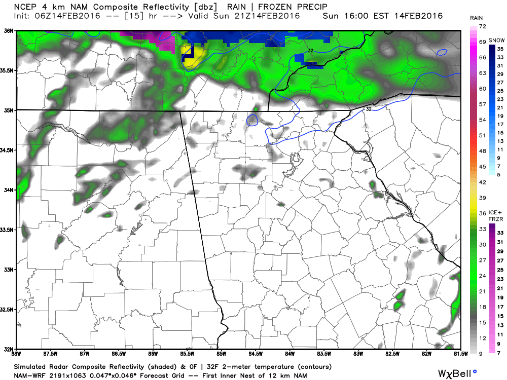  Temperatures 10 AM Monday - NAM-WRF 4km Temperatures 10 AM Monday - NAM-WRF 4km The NAM doesn't bring a lot of precip in until later in the evening on Monday, and by that time most of us have gone above freezing. Again, this is one model, but it shows temps rising above freezing in Gwinnett around noon. It appears that much of what we will see in the morning will be a very light rain or drizzle, something we often see in a CAD situation with warm moist overrunning air.
It will be interesting to see how this evolves today, I know there will be changes and I promise to keep you on top of them. |
Archives
March 2019
Categories
All
|
OLD NORTH GA WX BLOG

 RSS Feed
|
Never base important decisions on this or any weather information obtained from the Internet. Always have a backup method of receiving weather information such as a battery powered weather radio.
Copyright © 2018 NorthGeorgiaWX.com and DaculaWeather.com 
|