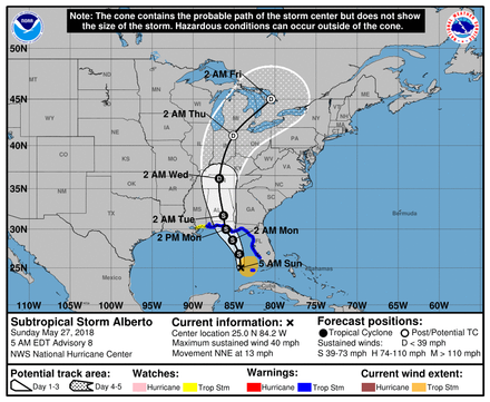
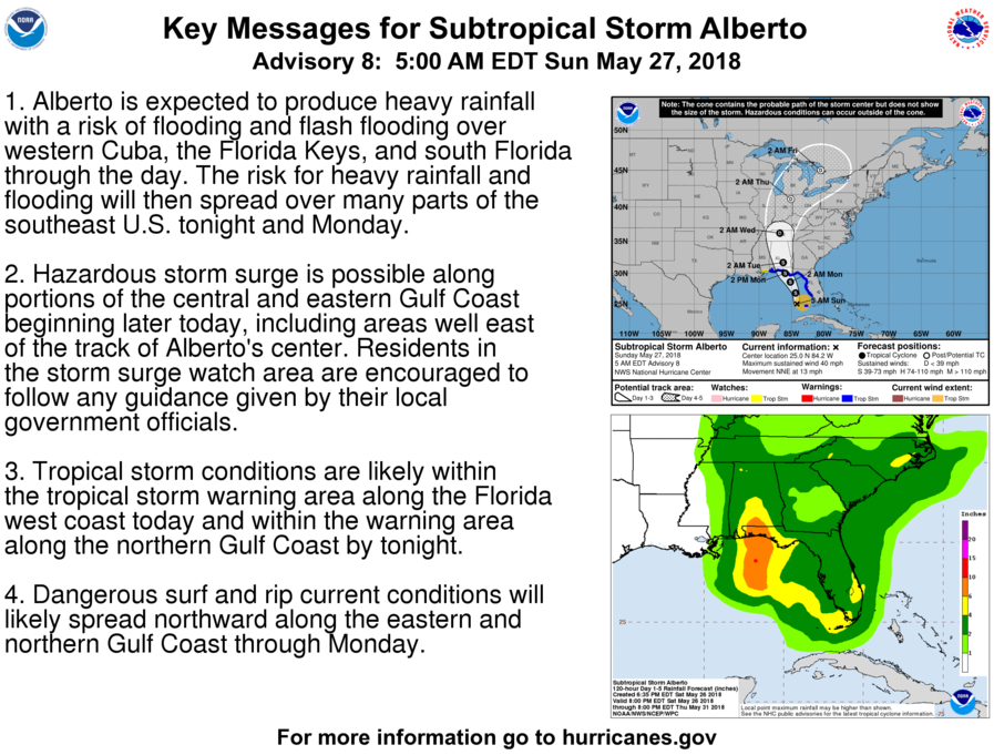
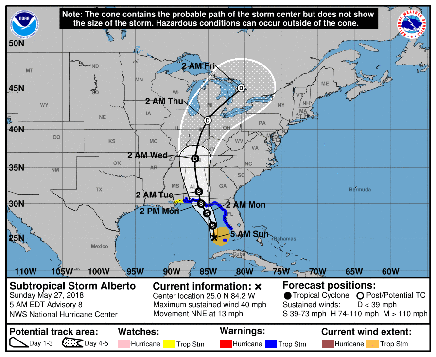
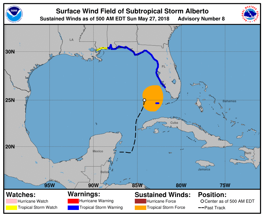
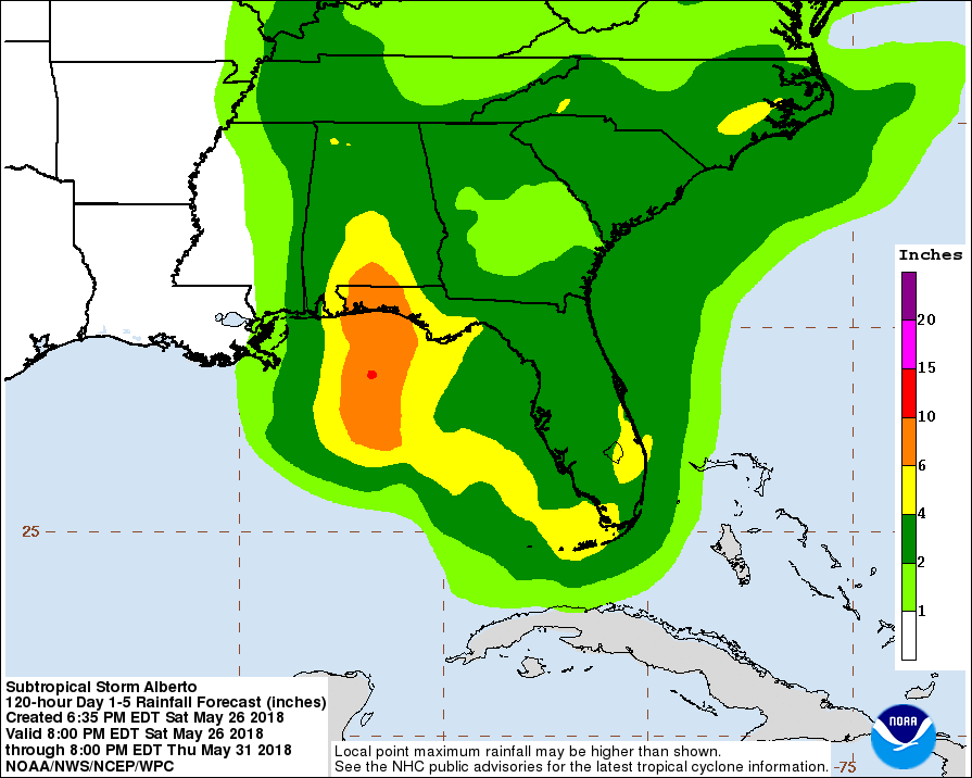
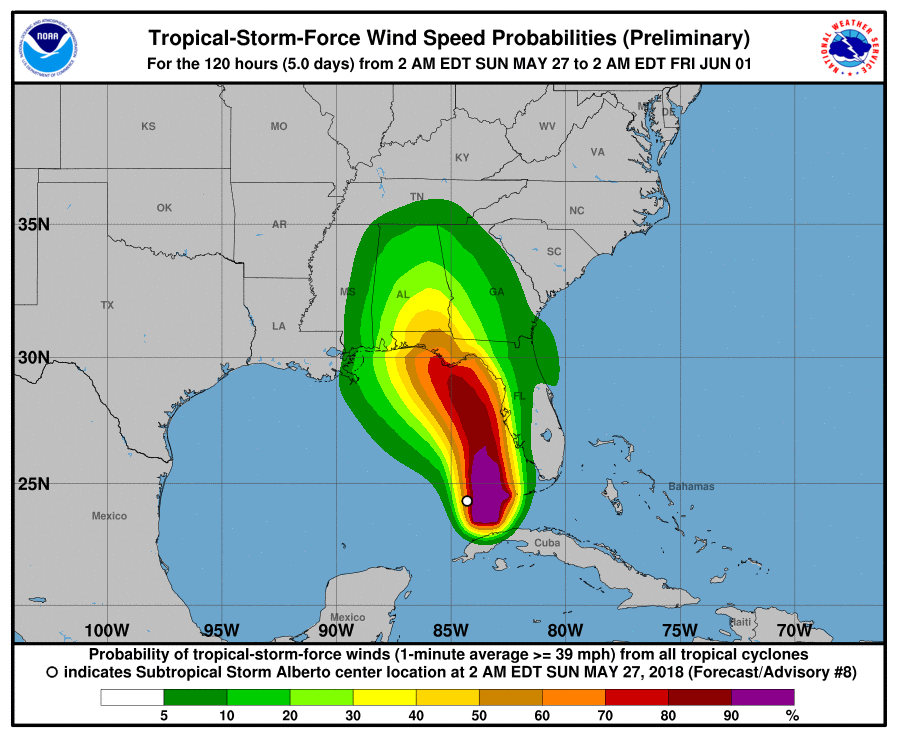
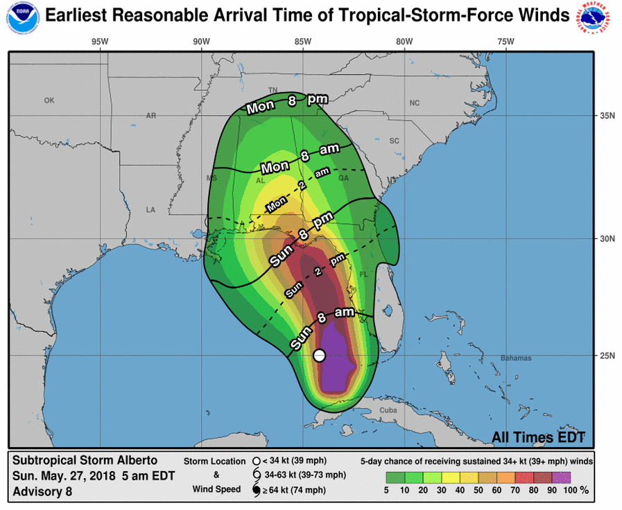
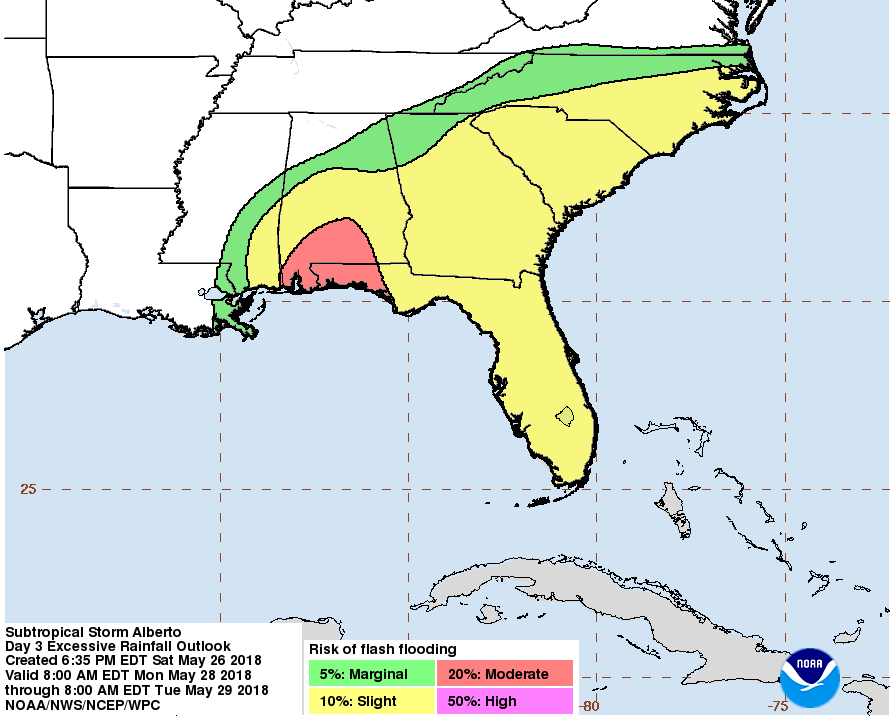
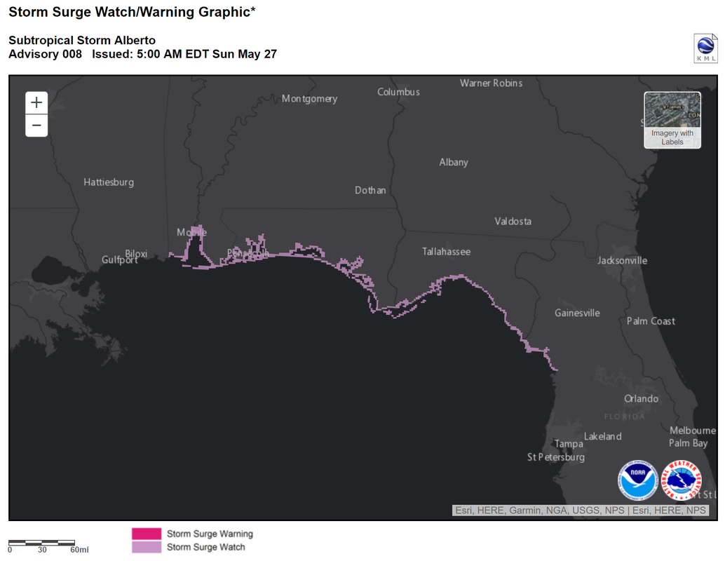
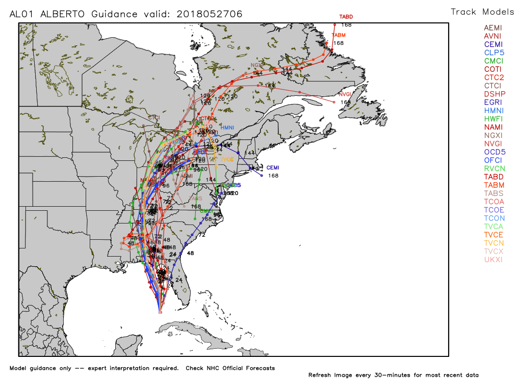
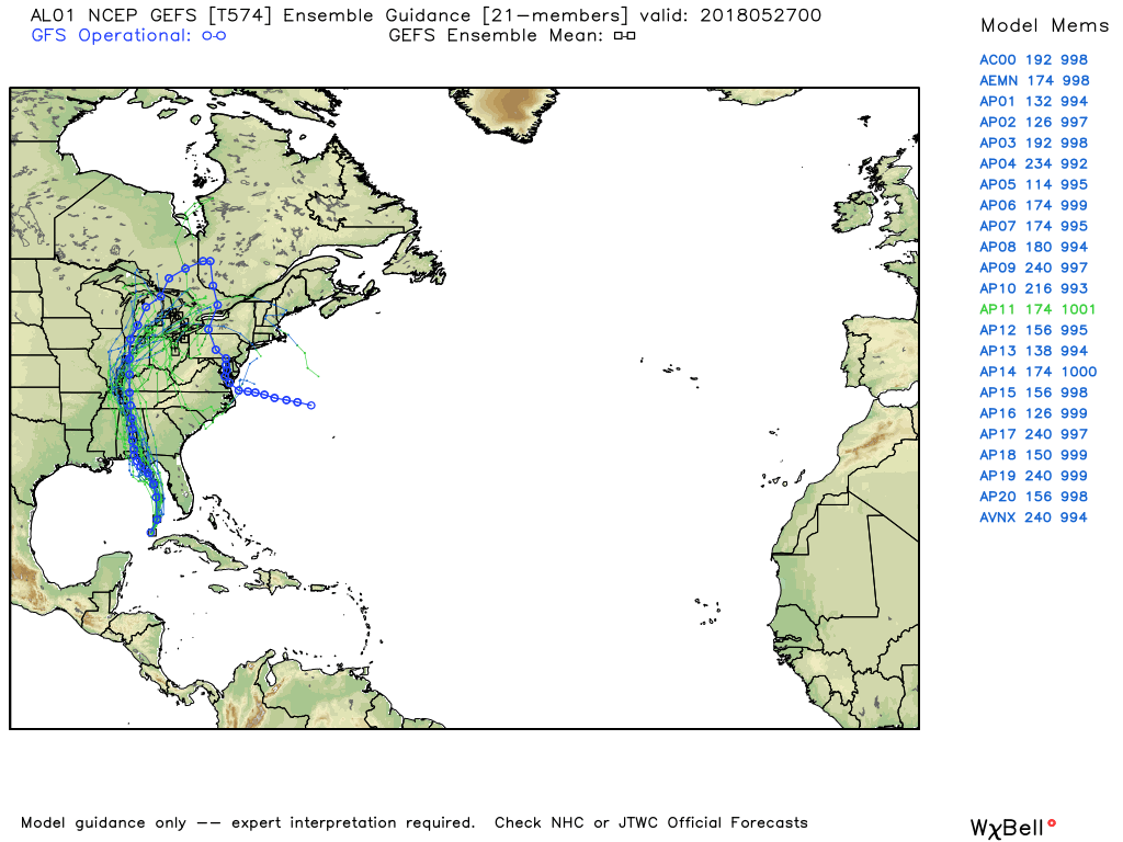
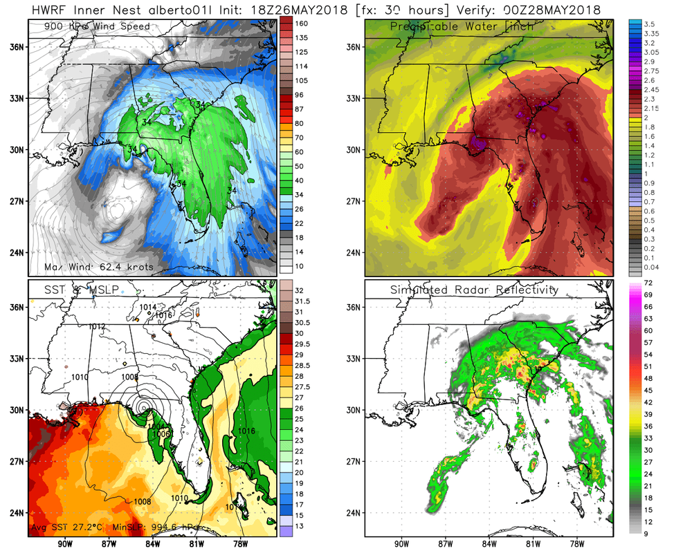
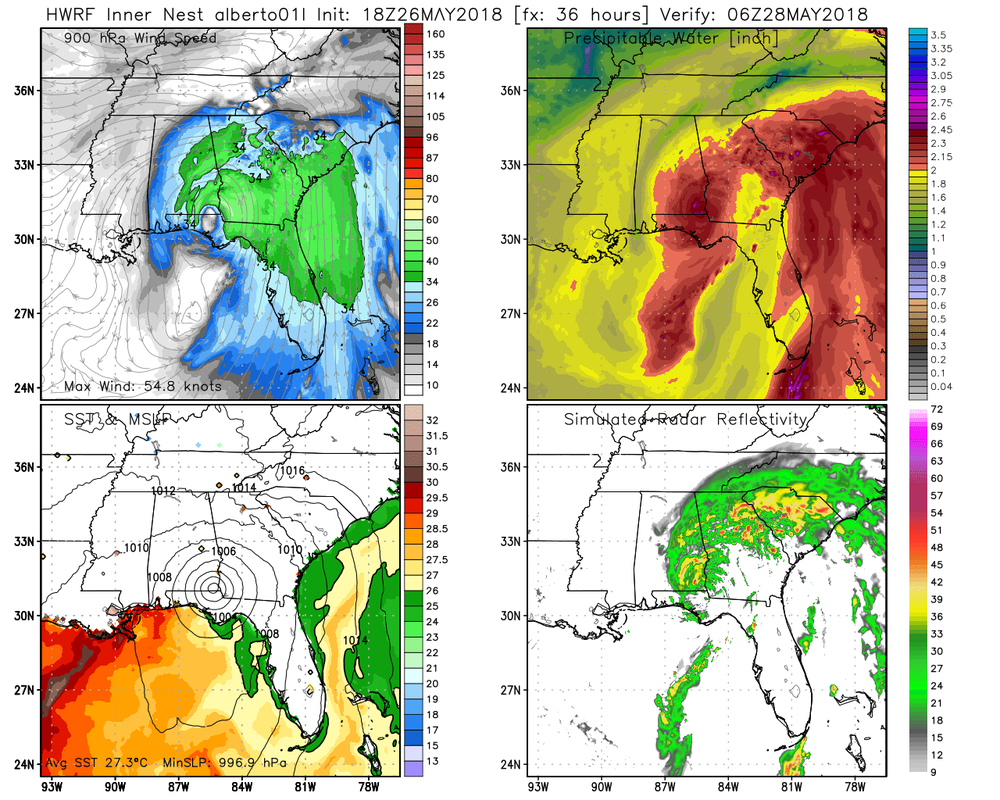
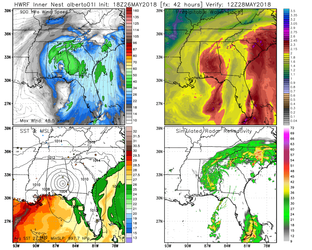
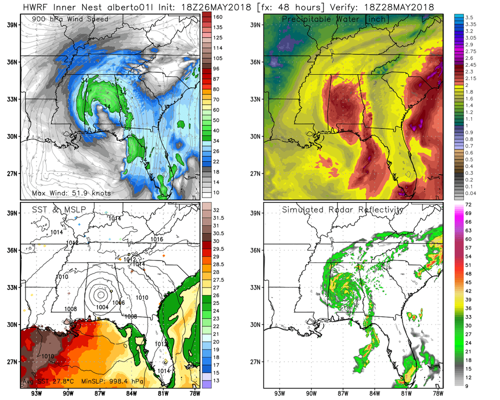
 5 AM NHC Forecast Track 5 AM NHC Forecast Track The first named storm of the Atlantic tropical season is making it's way north off of the west coast of Florida this morning as it takes aim for the north central Gulf coast. Alberto is a broad area of disturbed weather where most of the rainfall and winds are to the east of the center of rotation. The latest discussion (5 am today) from the NHC talks about the structure of Alberto. "Alberto appears a little better organized this morning with an area of deep convection gradually expanding near and to the north of the center. A large band of showers and thunderstorms extends well to the east of the center from western Cuba to south Florida and the northwestern Bahamas. Despite the improved organization, a fairly recent ASCAT pass showed maximum winds of about 35 kt, and therefore, the initial wind speed is held at that value. Based on the system's structure, it still appears to be subtropical, but it is gaining some more tropical characteristics. An Air Force Hurricane Hunter aircraft is scheduled to investigate Alberto later this morning, and should provide a better assessment of its intensity and structure. " The forecast calls for Alberto to transition from subtropical to tropical in 24 hours as it moves over warmer waters with lighter shear, and landfall in tomorrow morning near the AL/FL line. NHC ImagesModel Images |
Archives
March 2019
Categories
All
|
OLD NORTH GA WX BLOG
 RSS Feed
