|
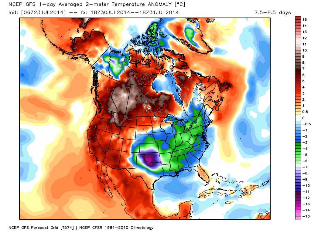
It would be hard to ask for better summer time weather over what we've already had so far, but the upcoming week might be about as nice as it gets around north Georgia. I'll quote the Sunday morning AFD from the Atlanta NWS office: THE MAIN WEATHER STORY IS A MUCH ADVERTISED COLD FRONT THAT PUSHES INTO NORTH GA BETWEEN 5-7 AM MONDAY MORNING... ACROSS THE ATLANTA METRO AREA BETWEEN NOON AND 2 PM MONDAY AFTERNOON... THEN TO NEAR A COLUMBUS TO MACON LINE BETWEEN 4-6 PM MONDAY It doesn't appear that north Georgia will get very much precipitation out of the frontal passage. Since the front will be passing in the early morning hours, we just won't have the heat of the day to aid in thunderstorm development. The worst of the weather should occur further to our south later in the day on Monday. 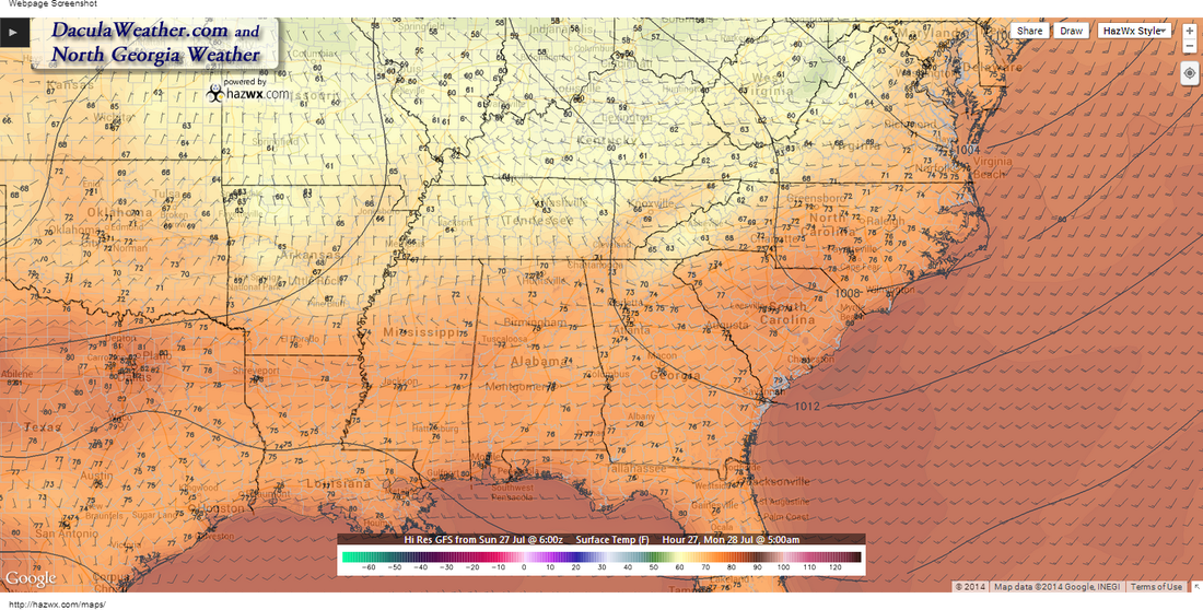 Temperatures 5 AM Monday - Big difference between 5 AM temperatures on Monday (this image) compared to the 5 AM temperatures on Tuesday (image below this one), almost a 15 degree drop. 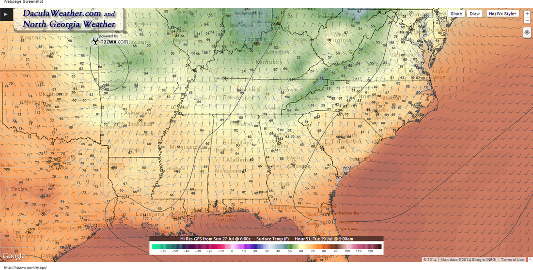 Temperatures at 5 AM Tuesday 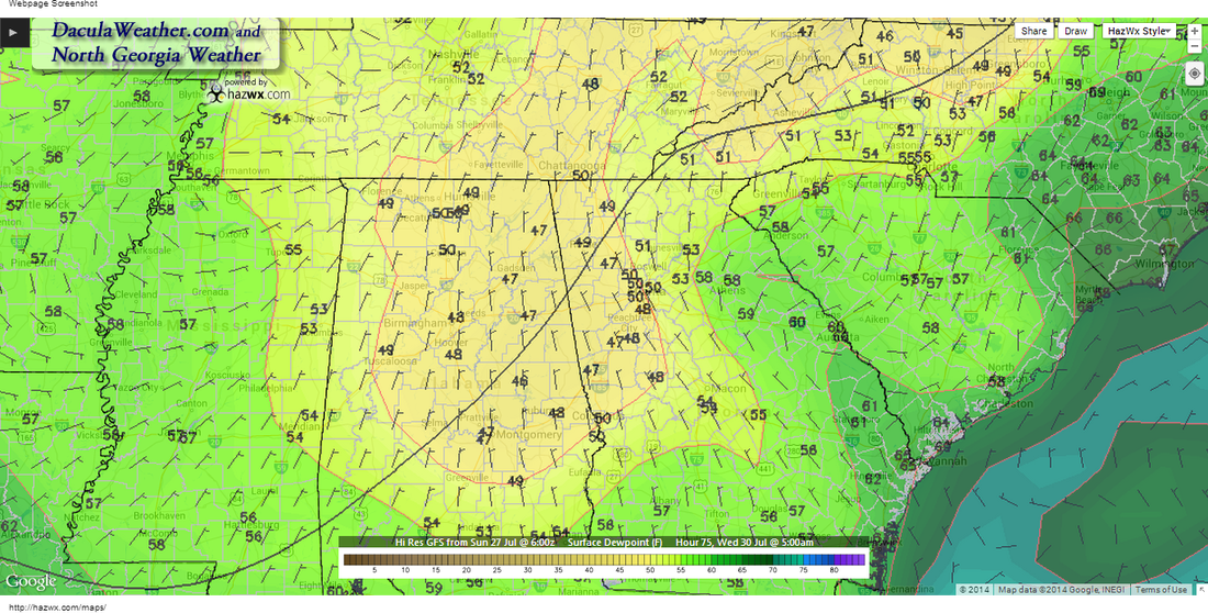 Dew Point - Wednesday July 30th, 5 AM
|
Archives
March 2019
Categories
All
|
OLD NORTH GA WX BLOG
 RSS Feed
|
Never base important decisions on this or any weather information obtained from the Internet. Always have a backup method of receiving weather information such as a battery powered weather radio.
Copyright © 2018 NorthGeorgiaWX.com and DaculaWeather.com 
|