|
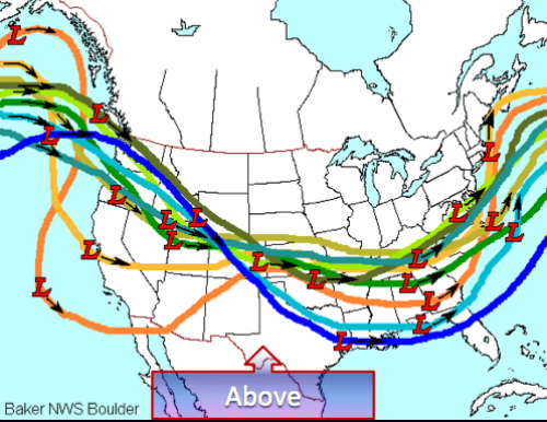
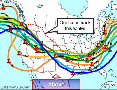
For the longest time we had wave after wave crashing into the west coast and overwhelming any block that tried to develop. Lately, we have developed some blocking, but the waves that eventually become our weather maker come over the top of the block, and not underneath.
I think part of the problem is that the pattern has been SO progressive and fast flowing, nothing ever gets a chance to develop. Even the cold shots that looked so promising in the medium to long range, break down quickly and move on out to sea. Without a mechanism to lock in the cold and slow down the progression, we are going to be hard pressed to get a big winter system it appears. It's looking more and more like we need a strong -NAO (North Atlantic Oscillation) during winters that are strong Nino's, and a -NAO block is never a bad thing. There are signs that winter is not over and that it may persist into March, but as time goes on, our chances get smaller and smaller. I still remain optimistic that we're going to catch a break as the Nino rapidly weakens and warming is still occurring in the stratosphere over the pole and the Euro and Canadian ensembles are still showing a return to winter. I'm still not giving up yet on the Monday system, the potential is still there for a major winter event in the southeast, exactly where is to be determined... we may be down but I don't think we're out. |
Archives
March 2019
Categories
All
|
OLD NORTH GA WX BLOG


 RSS Feed
