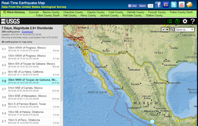
 I've added some new page to DaculaWeather.com over the last week, and I thought I'd share those with you. Since we're having so many earthquakes, I decided to retire my old page and replace it with this one. It's set to display the last 7 days of 2.5 or greater earthquakes. This list to the left only list the earthquakes that appear in the map window. This is real-time data from the United States Geological Survey every time you load the page. This page will appear under the "Links, Additional Links" menu at the top of the web site. 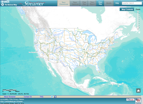 I've also added another map from the USGS called "Streamer". Streamer allows you to trace a river or stream, upstream or downstream. It can also provide data regarding that path. It's pretty cool. When you click on a river or stream, it does take 15-20 seconds before you see anything, so just know it's working! Here's the link to that one. You can find this page under the "Forecast, Hydrology" menu item. 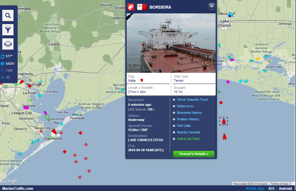 But WAIT! There's more! :-)
I also have real-time ship data! I know that's one of those things that you've just been torn apart with anticipation about. ;-) Well, wait no longer! I have the Gulf and eastern US covered, with a world map where you pick the zone to look at by clicking on it. There are 4 different pages for that: World Gulf Southeast Northeast Florida These pages also appear under the "Links, Additional Links" menu section. Hope you'll at least take a look and see what you think! Enjoy! |
Archives
March 2019
Categories
All
|
OLD NORTH GA WX BLOG
 RSS Feed
|
Never base important decisions on this or any weather information obtained from the Internet. Always have a backup method of receiving weather information such as a battery powered weather radio.
Copyright © 2018 NorthGeorgiaWX.com and DaculaWeather.com 
|